The Auckland Plan is the key blueprint for Auckland’s future development over the next 30 years and follows a strategic spatial plan approach. The plan takes a coordinated approach to land-use, growth, investment decision-making, infrastructure, social outcomes, and environmental signification.
It was the first spatial plan for the newly amalgamated Auckland region providing Council with a clearer direction and certainty on decisions rather than an uncoordinated ah-hoc approach at a time when there is increasing focus on urban form in our towns and cities. The final Auckland Plan was adopted by Council in early 2012.
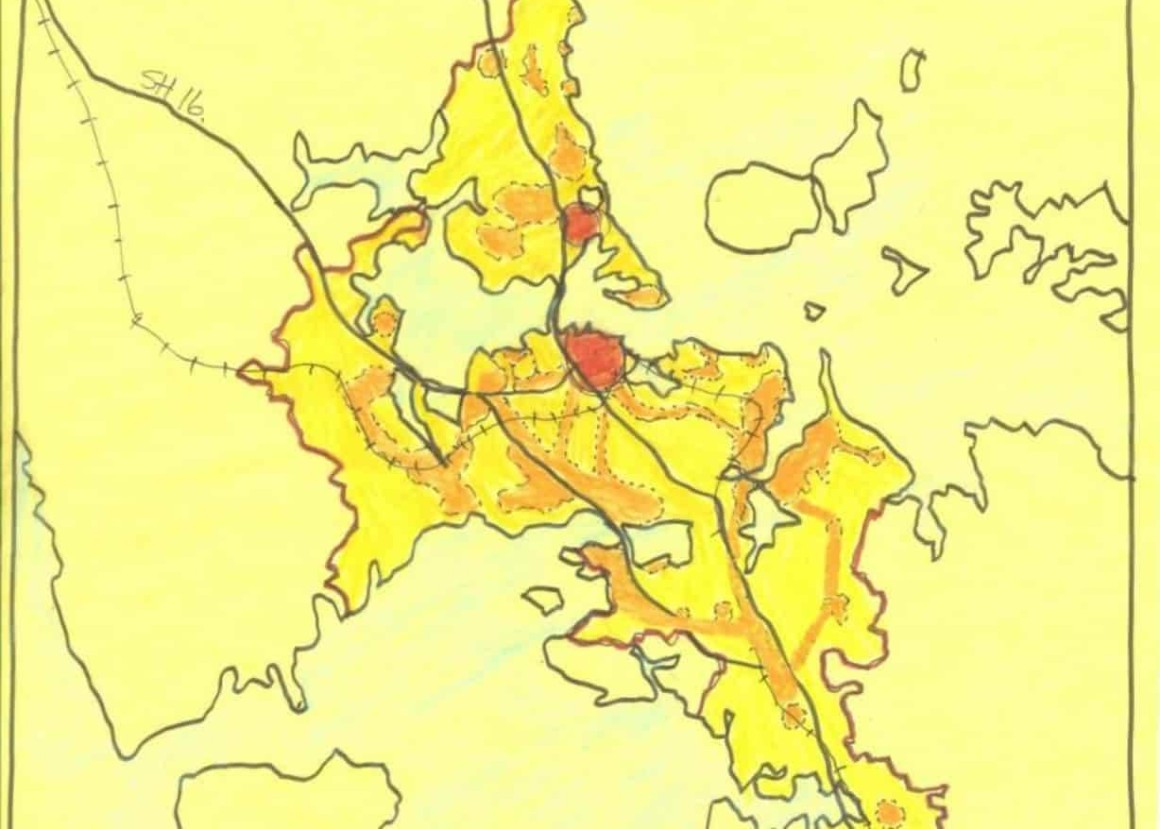
Reset was commissioned by Auckland Council as a critical friend providing strategic assistance with urban design, workshopping content and producing the large-scale plans and many illustrations and diagrams.
Services Large-scale urban planning and strategy development, workshops facilitation, mapping of entire Auckland area, plans, maps and graphics preparation